|
|
||||||||


|
TIMOR-LESTE 2009
Victor Valley College Tropical Research Initiative
Eraulo to Viqueque
The longest drive was from Eraulo to Dili, to collect a second expedition vehicle to be driven by Mark O'Shea, and then east along to north coast to Baucau, then south across the island to the Timor Village Hotel, 10kms north of Viqueque. The 253km journey took all day, so that the expedition arrived at its destination after dark.
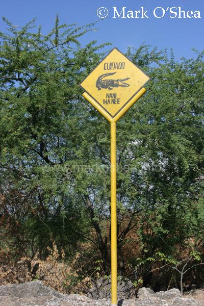
Crocodiles are fairly common along the coasts of Timor-Leste and warning signs are located near places where they may be a threat to travellers. One such sign in Manututo District is located near a coastal lagoon, clearly visible on Google Earth. A report on the status of Saltwater crocodiles in Timor-Leste can be downloaded by clicking on the link below.
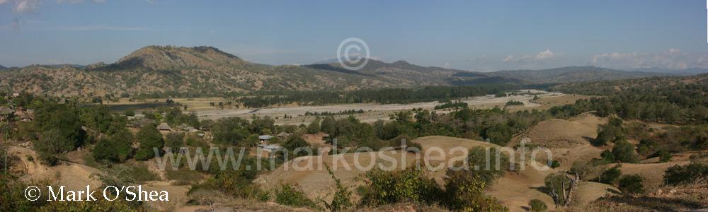
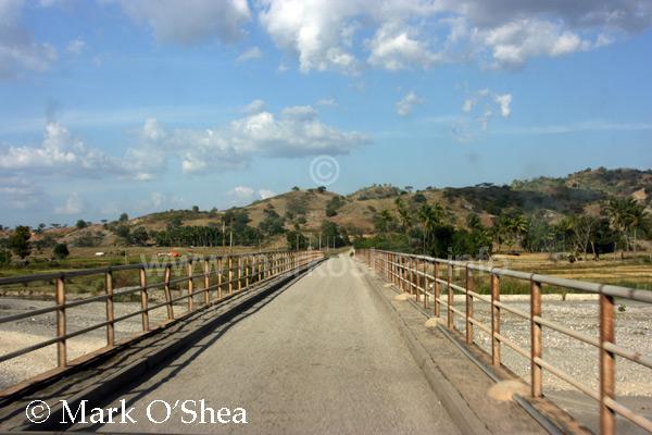
The habitat along the north coast is arid with xerophytic scrub vegetation. The wide river valleys are largely dry although it is clear that at times they carry substantial outflows of water.
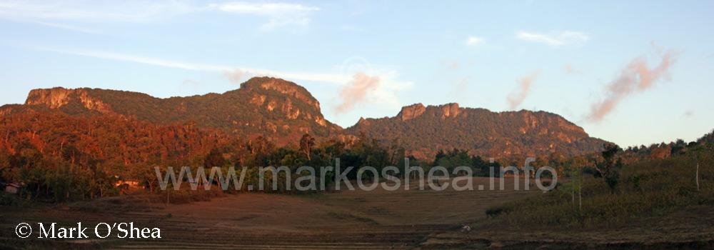
From Baucau the road south crosses the central mountains of Timor and contains to Viqueque, just inland of the southern, more himid coast. The Timor Village Hotel is located 10km north of Viqueque on a fairly potholed winding road through forest and paddy fields.
|