|
|
||||||||


|
TIMOR-LESTE 2009
Victor Valley College Tropical Research Initiative
Viqueque to Loré
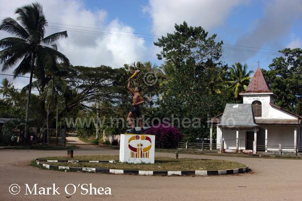
The road from Viqueque to Loré, along the south coast, was reportedly in poor repair, at least for its final stretch, so the expedition drove back to Baucau, and east along the north coast, before turning south again before Lautem, for Lospalos.
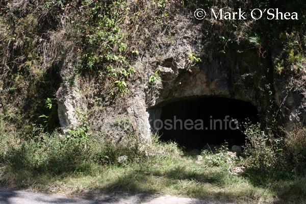
Enroute we visited the caves at Venilale on the Viqueque to Baucau road, hewn from the rock by Timorese under duress from the occupying Japanese during WWII. We also resupplied and re-fueled at Baucau, the second largest town after Dili.
Several monitor lizards (Varanus sp.) were seen sprinting across the road into arid coastal scrub during the drive. Whethere these were Timor monitors (V.timorensis) or the Mangove monitor (V.indicus) of New Guinea, which has been reported as present in the past, could not be ascertained and searches failed to reveal a specimen or provide the closer examination necessary for a positive identification.
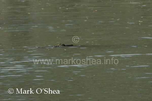
A subadult Saltwater crocodile (Crocodylus porosus) was sighted under the road bridge over the Malailela River, shortly before the expedition turned south for Lospalos. Additionally a DOR Island pitviper (Cryptelytrops insularis) was collected off the road a little way off the bridge.
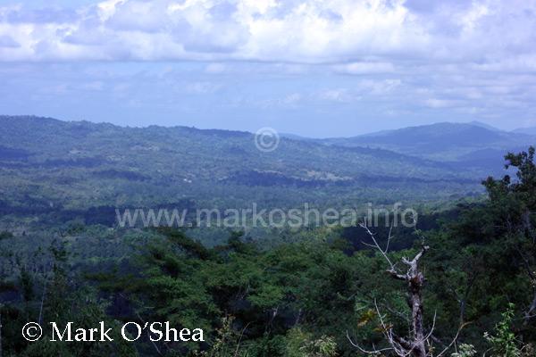
Going south from Lospalos, the road deteriorated further as it passed through dipterocarp forest covered mountains to Loré on the Timor Sea, the first time the expedition had visited the south coast.
Loré is a series of several villages stretching from several kilometres inland to the coast. Loré 1, the expedition's destination, is actually on the beach.
|
|||||||||||||||||